From point cloud to CAD drawing.
Roads and footpaths at Munich Central Station: identifying kerbs and other existing features in a point cloud and tracing them as lines and areas.
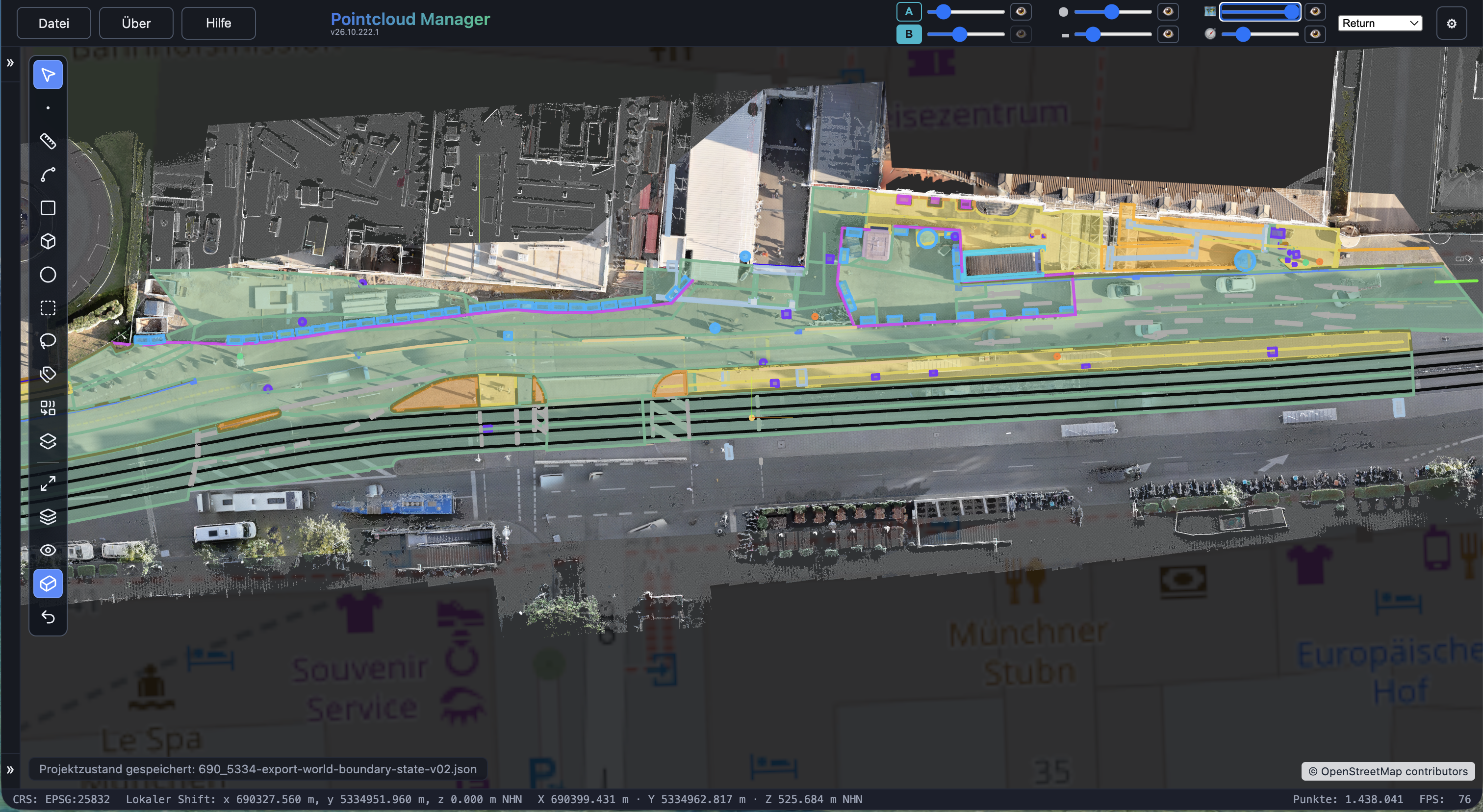
Capture existing street conditions for planning.
Roads and footpaths around Munich Central Station are surveyed for renovation planning. The point cloud records the existing conditions. Visible features are manually traced to create a structured drawing for further work in CAD.
This example shows how individual survey points become usable lines and areas. The drawing stays visible alongside the point cloud, allowing its position to be checked against the captured features.
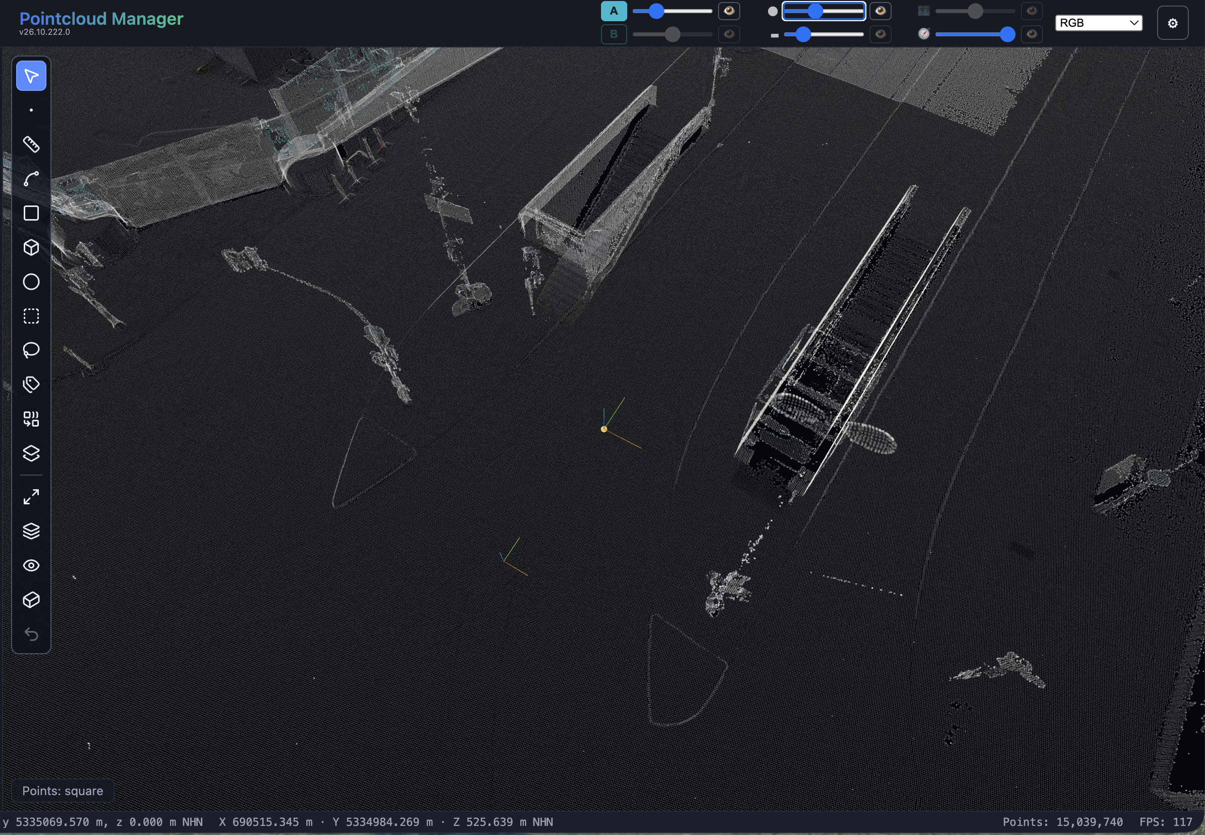
Follow kerbs in the “X-ray” view.
An RGB view provides a clear impression of the captured surroundings. Tracing also requires identifying fine geometric features, such as the course of a kerb or transitions between surfaces.
This project uses a display described as the “X-ray” view. In the surveyor’s experience, kerbs and other features are easier to follow here than in the standard RGB view. It is used to inspect the cloud before drawing.
Turn visible edges into drawing objects.
Visible features are traced as lines and areas in Pointcloud Manager. The overview shows the area already processed, with numerous drawing objects over the point cloud.
Filled areas and lines can be viewed together with the captured surroundings. This preserves the spatial context as the drawing takes shape.
Hand over the drawing as DXF.
Pointcloud Manager supports DXF export of the geometry you draw. The drawing created in your browser can then be edited further in a CAD application.
Precisely align line vertices with the gizmo.
A click does not always land on the edge you need. Gizmo handles let you precisely reposition line vertices after placing them. This also helps trace edges that appear rounded by point noise.
Cloud points occlude parts of the polyline and the gizmo. This reveals how the drawing sits within the point cloud and helps you align it with the visible edge. The video demonstrates this fine adjustment in the application.
Watch the YouTube Short ↗Work with your own point cloud.
Open point clouds, trace existing features and export geometry for CAD — directly in your browser, with point cloud data processed locally.
Try free for 14 daysRequest a demo