Features by task
Pointcloud Manager is browser software for point clouds in surveying, construction and drone services. These pages describe how it handles five typical tasks – with the steps involved and honest limits. The complete description is in the manual.
 Sample data
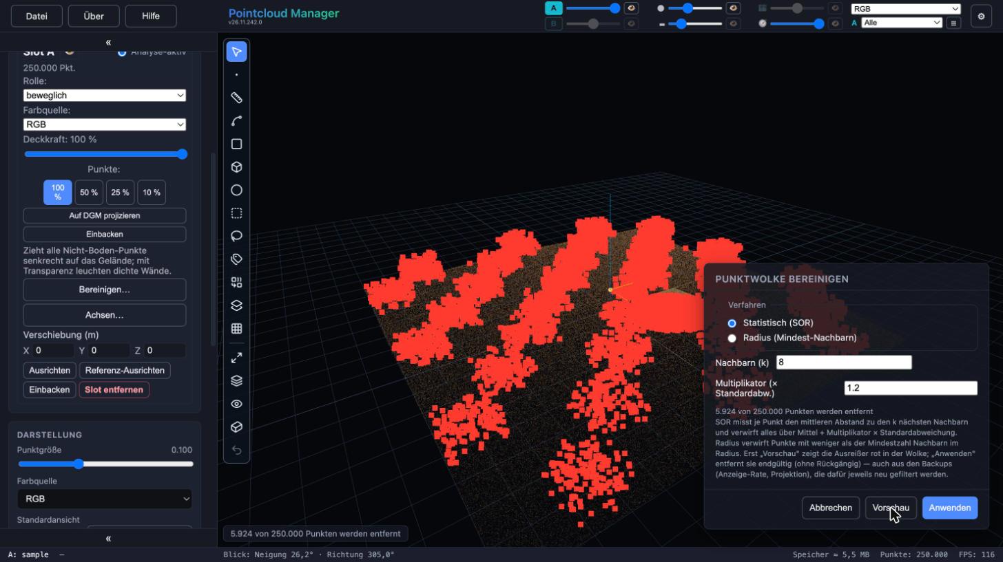
Vectorize point cloud
Clean the cloud, draw on a drawing plane, place vertices with the gizmo, snap on purpose – then hand over as DXF.
Read more →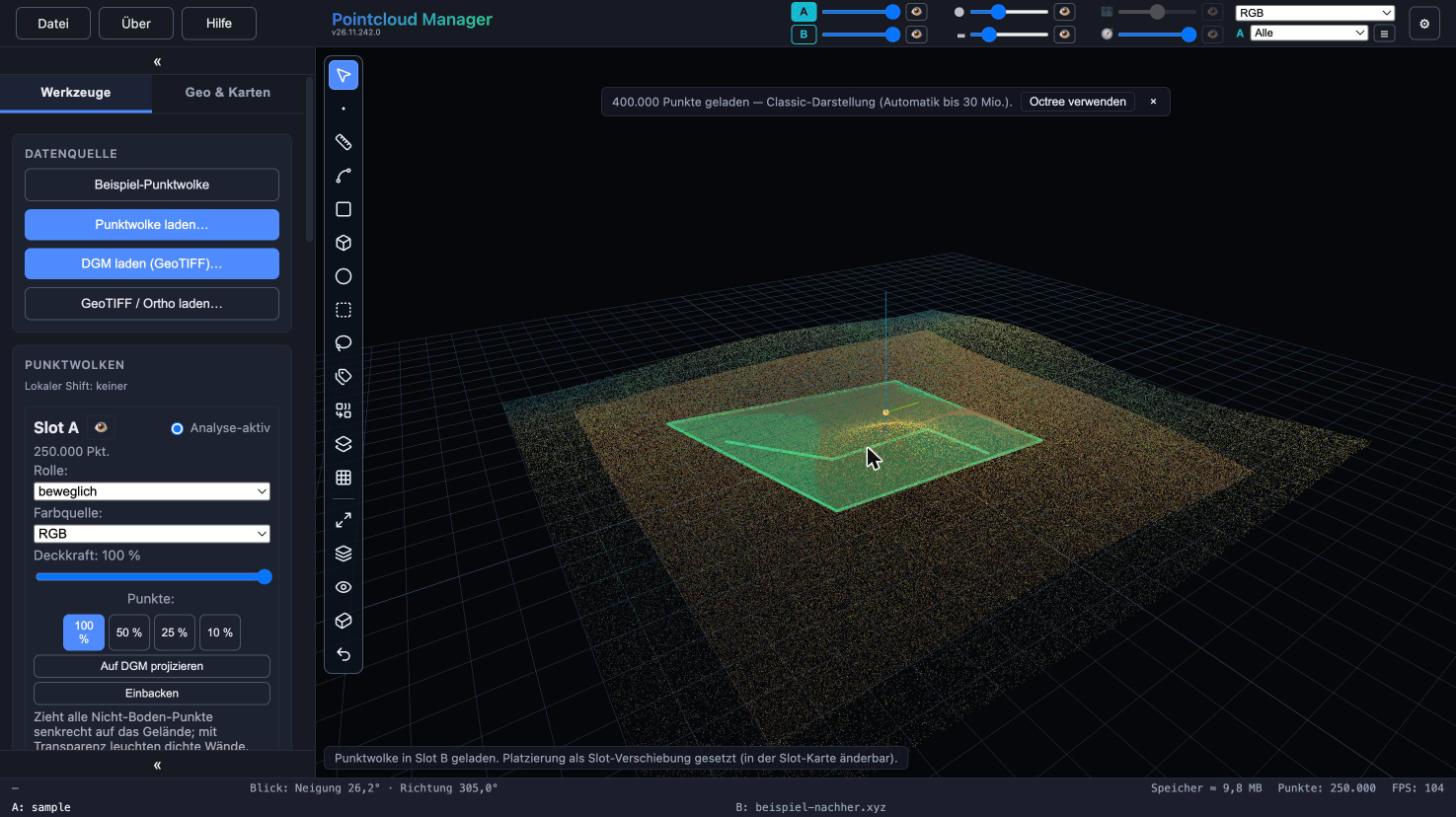 Sample data
Compare point clouds
Overlay two clouds in A/B slots, align or tilt with two points, fine-tune, bake and merge.
Read more →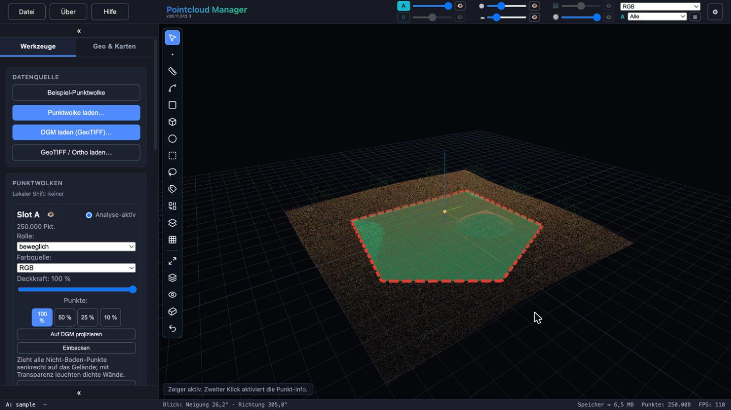 Sample data
Prepare and export
Crop to a boundary or section box, thin out and export as LAS, LAZ or PLY.
Read more →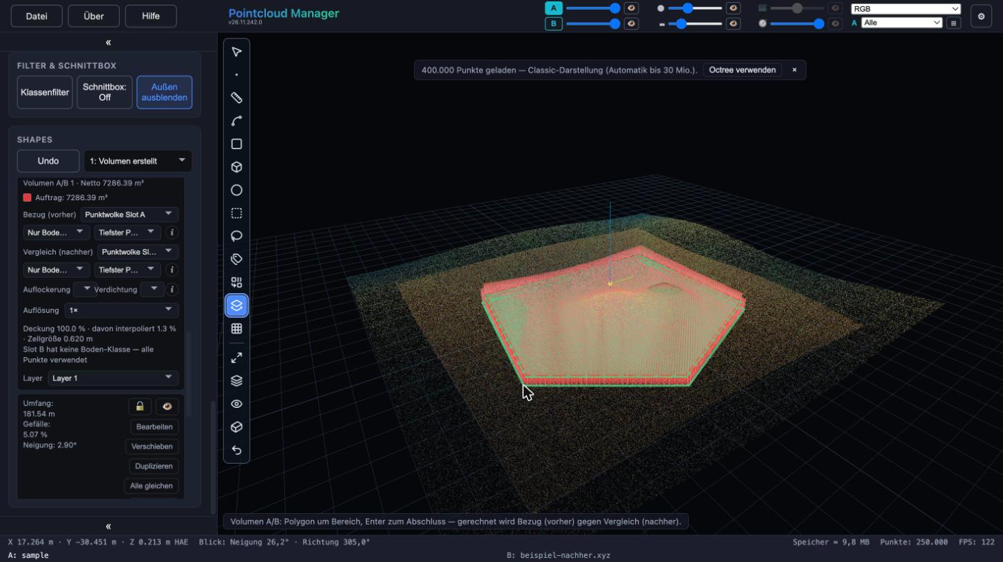 Sample data
Volume from point cloud
Fill and cut between two terrain states, bulking and compaction, quantity report as PDF.
Read more →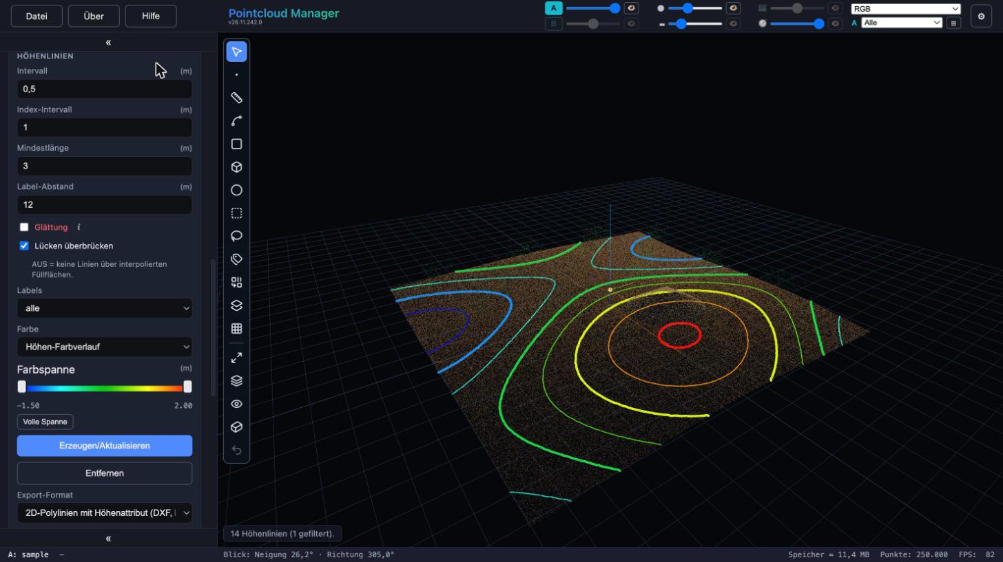 Sample data
Contour lines for CAD
Contour lines from the terrain model with interval, smoothing and color ramp – to DXF as 2D or 3D polyline.
Read more →
Work with your own point cloud.
Open point clouds, trace existing features and export geometry for CAD — directly in your browser, with point cloud data processed locally.
Try free for 14 daysRequest a demo